
How to Verify Property Lines Before You Build or Fence
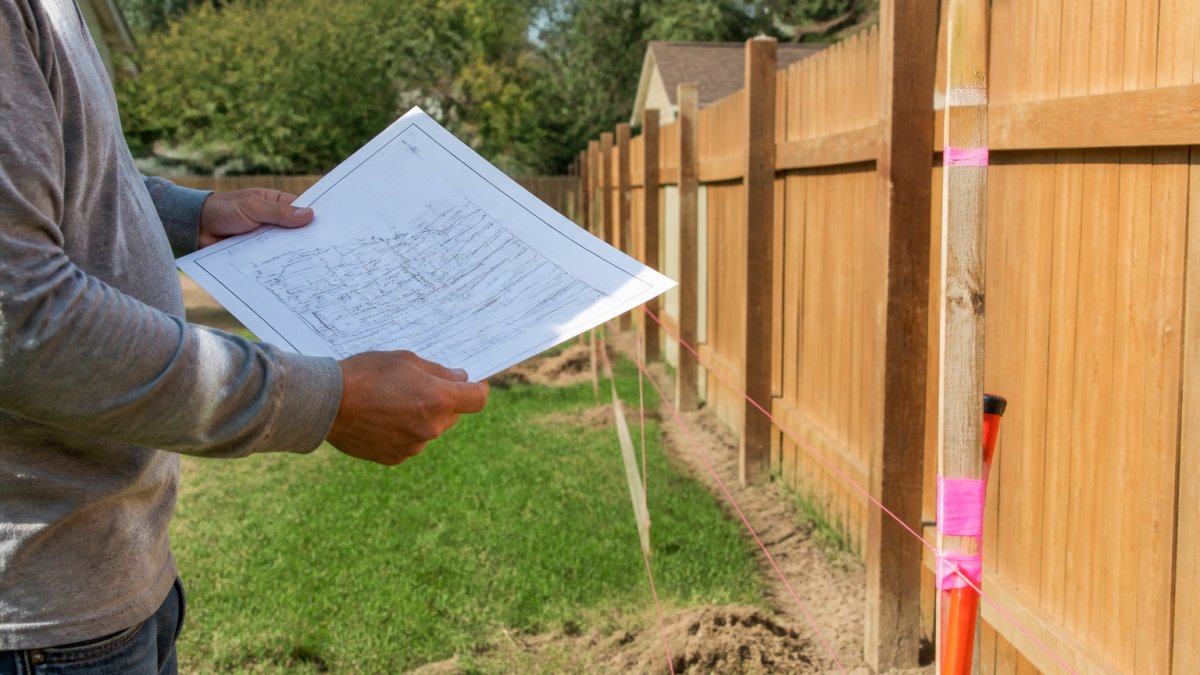
Last Updated: October 26, 2026
Quick Summary
To verify property lines, start with your county's free GIS parcel viewer and public records, then read the deed, plat, and legal description together. For any fence, addition, or dispute, a licensed surveyor's recorded boundary survey is the only reliable answer.
- Assessor maps are drawn for taxation, not for building, so never set a fence from one.
- Property pins are usually iron rods or metal stakes set at boundary corners by a licensed surveyor.
- A mortgage or location survey may not set or verify corners, so do not rely on it for construction.
- A recorded boundary survey is the strongest evidence a property owner can hold.
- Never move a survey pin or build past a line you have not confirmed.
Table of Contents
- Start With a Free Property Line Map, Then Confirm It
- Pull Property Lines Public Records From Your County
- Read the Deed, Plat, and Legal Description Together
- How to Find Property Pins in the Field
- When a Property Line Survey Is the Only Reliable Answer
- What to Do When a Neighbor Disagrees About the Boundary
- Book a Fence Layout Check Before Installation Begins
- Frequently Asked Questions
Start With a Free Property Line Map, Then Confirm It
Learning how to verify property lines starts with a free map, not a fence post, and the first step is to verify property lines on paper before you ever touch a shovel.
Online tools put you in the right neighborhood, not on the right inch. Search your county's GIS parcel viewer by address or owner name, compare the aerial photo against your yard and fence line, and screenshot it as a starting point only.
Pull Property Lines Public Records From Your County
Public records are the first real evidence, and they're free to request. A property lines public records search runs through two offices: the county assessor, who tracks taxable value, and the register of deeds, who holds recorded documents.
Watch out: assessor maps are drawn for taxation, not for building. They can be simplified or outdated. If you have questions about permits, timelines, or costs while you dig through records, our frequently asked questions cover the basics.
Read the Deed, Plat, and Legal Description Together
The deed, plat, and legal description tell one story, and you need all three to read it correctly. A property deed transfers ownership, the legal description inside it defines the land itself, and a recorded plat is the county-filed map showing lots, blocks, and streets. Read them side by side, which is where the real answers live.
Read them in this order, and read them against each other:
- Deed first. Find the legal description. It is usually either a lot-and-block reference ("Lot 14, Block 3, of Sunny Acres Subdivision, as recorded in Plat Book 7, Page 42") or a metes-and-bounds narrative listing bearings and distances ("thence North 42°17' East, 150.0 feet to an iron pin").
- Plat second. Match the lot number and block to the recorded map. Check the lot dimensions printed along each line and the symbols at each corner.
- Legal description last. Compare the bearings and distances in the deed against the plat. They should agree. If the deed says 150.0 feet and the plat prints 148.5, that discrepancy matters and is worth flagging to a surveyor.
How to Read Bearings and Distances
A metes-and-bounds description is a walk around the parcel, one call at a time. Each call gives a direction and a distance. The direction is a bearing: a compass angle measured from north or south toward east or west. "North 42°17' East" means start facing north, turn 42 degrees and 17 minutes toward the east, and walk that line. Distances are usually in decimal feet.
A few practical rules for reading a metes-and-bounds description:
- Follow the calls in order. Each call starts where the previous one ended. The last call should return you to the point of beginning (POB).
- Watch the monuments. Phrases like "to an iron pin" or "to a point on the bank of the creek" are monuments. They control over distances when the two conflict, a long-standing principle in boundary law.
- Note the qualifiers. "More or less" after a distance means the figure is approximate. "Along the centerline of the ditch" means the boundary follows a feature, not a straight bearing.
How to Read a Plat
Plats are drawn to scale and use standard symbols. You don't need to be a surveyor to read the common ones:
- Lot lines are solid lines with dimensions printed along them.
- Curved lines carry a radius, arc length, and chord bearing, which is how cul-de-sac and curved lot fronts are described.
- Easements are usually dashed or dotted lines labeled "utility easement," "drainage easement," or "right-of-way." An easement is not a boundary, but it restricts what you can build over.
A common mistake is reading the deed alone. Deeds reference plats, and plats show what the words cannot. If the description says "to the iron pin" and the plat shows a pin at that corner, you know what to look for in the yard. If the description references a plat not in your packet, request it from the register of deeds by book and page number.
If you have questions about permits, timelines, or costs while you dig through records, our frequently asked questions cover the basics.
How to Find Property Pins in the Field
Finding survey markers takes patience and a tape measure. Property pins are the physical markers set by a licensed surveyor at your boundary corners, usually iron rods, metal stakes, or pipes, sometimes capped with a surveyor's name.
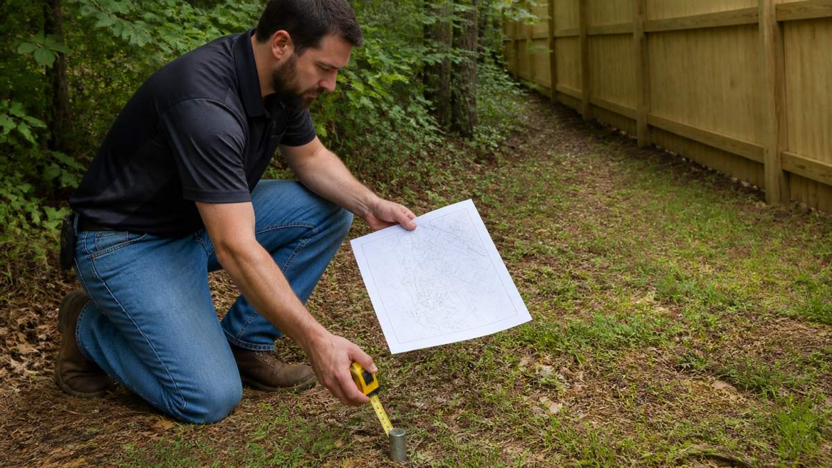
Here's how to find property pins without digging up the whole yard:
- Start at the corners shown on the plat, not the middle of a line
- Sweep a metal detector in a two-foot circle around each corner
- Probe gently with a screwdriver where the detector beeps
Pins get buried, pushed, or pulled over the years. A pin you find is a clue, not proof. If the distances don't match the plat, stop and call a surveyor.
When a Property Line Survey Is the Only Reliable Answer
A property line survey is the only method that legally establishes where your boundary sits. A licensed surveyor measures the lot, ties it to recorded documents, and sets or confirms the corner markers. That signed survey is what courts, lenders, and permit offices accept.
Here is the hierarchy of evidence, from weakest to strongest:
- Phone apps and online maps, useful for orientation, not for decisions.
- County GIS parcel viewers, better than a phone app, still approximate.
- Assessor parcel maps, drawn for taxation, not for construction.
- Deed, plat, and legal description, the documentary record of where the line should be.
- Found monuments and pins, physical evidence, but only as reliable as their condition and provenance.
- A recorded boundary survey, the strongest evidence a property owner can hold, and the basis for legal and construction decisions.
Use the lower rungs to prepare and ask better questions. Use the top rung when money, safety, or a dispute is on the line.
When You Actually Need One
- Before building a fence, deck, addition, garage, or pool near a line
- When a neighbor questions the boundary or claims adverse possession
- When buying land, subdividing, or settling an estate
Types of Surveys and What They Deliver
Not every survey is the same product, and the scope drives the price:
- Boundary survey, locates the boundary lines and corners, and typically shows improvements, easements, and encroachments. This is the standard survey for a fence or a dispute.
- Mortgage or location survey, a lighter product often ordered at closing. It shows the house relative to the lot lines but may not set or verify corners. Do not rely on it for construction.
- ALTA/NSPS survey, a detailed survey used in commercial transactions, with optional Table A items such as utilities, zoning, and flood zone. Overkill for most residential fence projects.
What Drives the Cost
Survey pricing is quoted per project, not per hour in most residential work, and the range is wide. A straightforward boundary survey on a small, flat, well-documented suburban lot sits at the low end; rural, wooded, irregular, or waterfront parcels with poor records sit at the high end. Ask the surveyor to break the estimate into these drivers:
- Parcel size and shape, acreage and irregular lines take longer to traverse.
- Terrain and vegetation, woods, steep slopes, wetlands, and heavy brush slow field work.
- Record research, older subdivisions, unrecorded plats, and conflicting deeds add office time.
Timing
Scheduling varies by region and season. A simple residential boundary survey is typically scheduled weeks out, while complex rural work or peak spring and summer demand can push the timeline further. Ask two questions up front: when can you be on site, and when will the stamped survey be delivered?
Once you know a survey is the reliable answer, the next step is scheduling the work.
The article ranks boundary evidence from weakest to strongest, so here is that hierarchy in one place.
| Evidence type | Strength | Note |
|---|---|---|
| Phone apps and online maps | Weakest | Useful for orientation, not for decisions |
| County GIS parcel viewers | Approximate | Better than a phone app, still approximate |
| Assessor parcel maps | Approximate | Drawn for taxation, not for construction |
| Deed, plat, and legal description | Documentary record | Shows where the line should be |
| Found monuments and pins | Physical evidence | Only as reliable as condition and provenance |
| Recorded boundary survey | Strongest | Basis for legal and construction decisions |
What to Do When a Neighbor Disagrees About the Boundary
Boundary disputes go sideways fast when both sides argue from maps. The fix is evidence, not volume. Follow this order:
- Compare documents. Trade deed and plat copies. Often the disagreement is a misunderstanding of where the line runs.
- Walk the line together. Bring the plat and a tape measure. Point to the pins you found.
- Check for easements. A right-of-way or utility easement can cross a lot and confuse who owns what.
- Hire a survey. If you still disagree, a boundary survey settles it with measurements both sides can check.
- Review HOA rules. Many subdivisions add their own fence rules on top of county setbacks. Our guide to HOA fence permit requirements walks through what to check before you build.
Watch out: never move a survey pin or build past a line you haven't confirmed. That turns a disagreement into a legal problem, and it can cost far more than a survey.
Book a Fence Layout Check Before Installation Begins
A layout check is the step that saves the project. For sloped yards, our fence installation step-by-step guide walks through what comes next. Before we set a single post, we walk the line with you, confirm the corners against your documents, and flag anything that needs a surveyor.
Here's what a layout check covers:
- Confirming corner pins and line direction
- Checking county setback rules and HOA limits
- Marking utility lines before digging
We're locally owned and veteran operated, with no hidden fees or upselling. Check our service locations to confirm we serve your Midlands SC community. Our crews keep the work site clean and build with quality materials.
Frequently Asked Questions
Are property lines public record?
Yes. Deeds, recorded plats, and parcel maps are public documents held by your county recorder or assessor, and most counties publish them online for free. You can look up your parcel number, view a free property line map, and download the deed without paying a fee. What public records cannot do is tell you exactly where the boundary sits on the ground. Only a licensed surveyor can measure and mark it, so treat records as a starting point before you verify property lines for a fence or building project.
What is the most accurate way to find property lines?
A boundary survey by a licensed land surveyor is the most accurate method. The surveyor measures bearings and distances from recorded documents and sets or confirms corner markers, then produces a signed plat you can rely on. Online maps, county GIS layers, and aerial imagery can be off by several feet because they are drawn for tax purposes, not legal boundaries. If you are building a fence, adding a structure, or settling a disagreement with a neighbor, order the survey before any work starts.
How can I find property pins without paying for a survey?
Check your deed and plat for the recorded distances, then measure inward from a known corner using a tape. Pins are usually iron rods, rebar, or metal stakes set at or slightly below grade, so sweep the area with a metal detector or probe gently with a screwdriver. Look near fence corners, large trees, and driveway edges. If you find a pin, do not move it. If nothing turns up, the markers may have been removed or never set, and a surveyor is the next step.
Should I get a survey before building a fence?
Get a survey whenever the fence line is uncertain, the lot is irregular or wooded, or a neighbor has questioned the boundary. A fence built even a foot onto a neighbor's land can lead to removal costs and a dispute, and many local permit offices and HOAs ask for a plat or survey with the fence application. Fencementals can walk the proposed layout with you and flag where a surveyor should confirm the line before crews set posts.
Verifying property lines takes an afternoon of records and one honest look at the ground. Get it wrong, and a fence can come down. Get it right, and you build once. Fencementals handles wood, vinyl, and chain link fencing with straightforward pricing, a clean work site, and workmanship that holds up. Get started with Fencementals and build your fence on ground you can trust.
